
Weekly
US$ 12 per week
For a single short project.
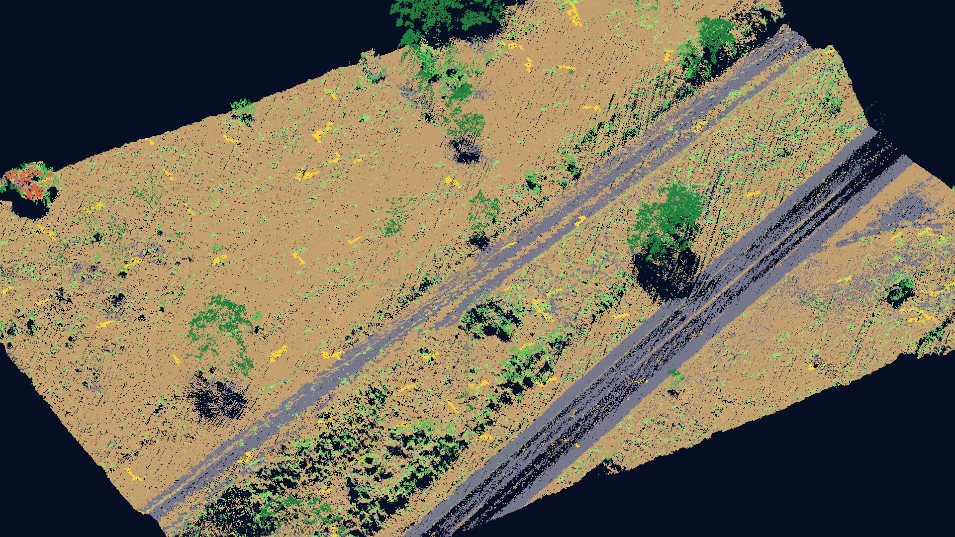
Opening soonNo workstation, no graphics card, no CAD software and no LiDAR specialist. Load a point cloud from a car, drone or aircraft survey and Sirius LiDAR classifies it, builds the terrain and draws maps, profiles and cross-sections ready to deliver. Your data never leaves your computer.
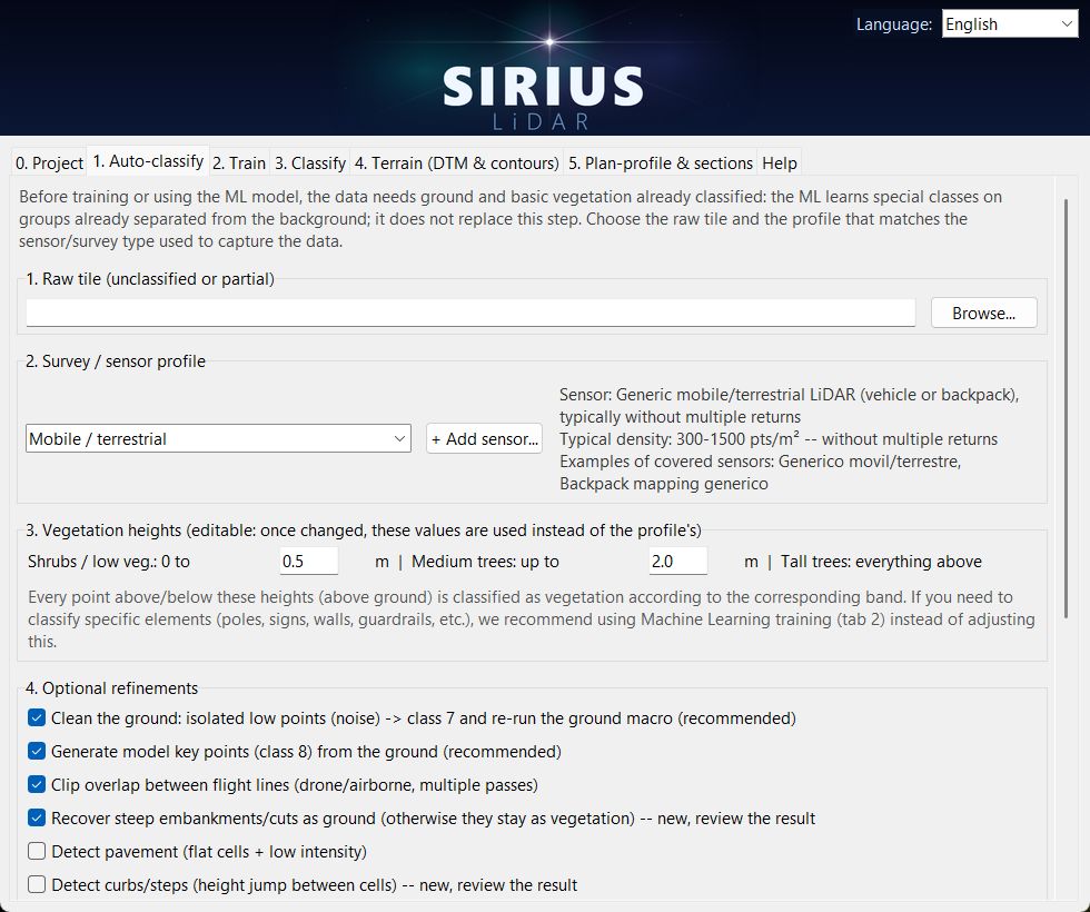
In the order you work, one tab at a time.
Ground and low, medium and high vegetation from a raw tile, with profiles for mobile, drone and airborne surveys. Model key points (class 8) included.
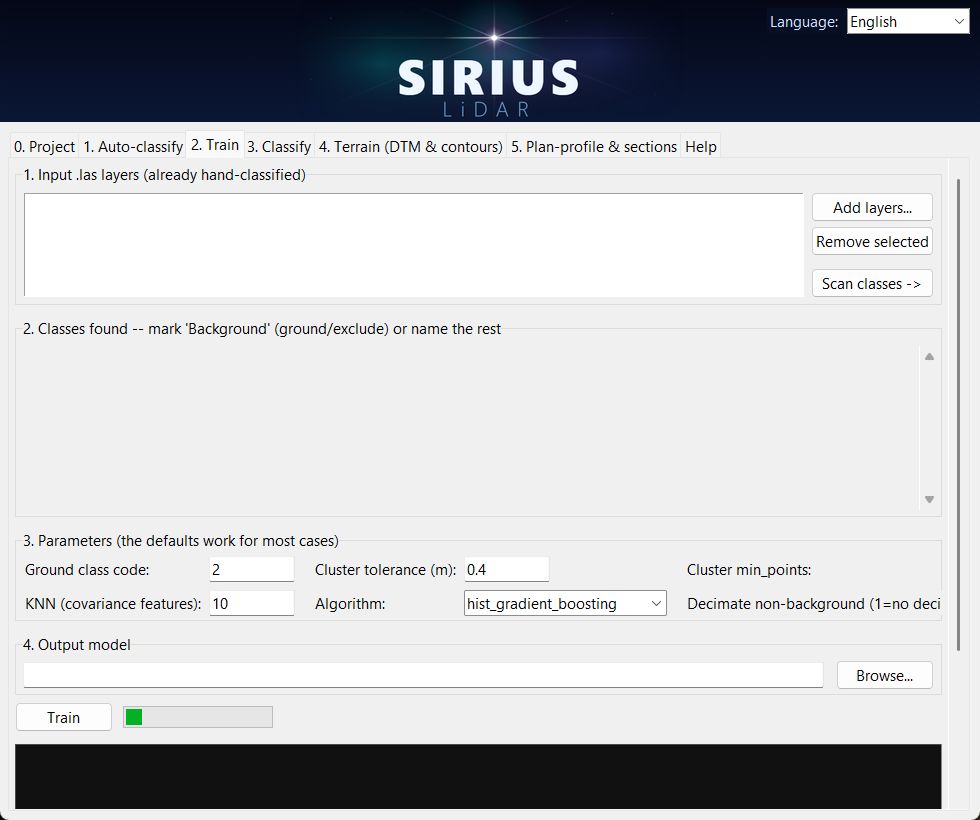
Label a few tiles with your classes, such as poles, power lines, guardrails or walls. Sirius learns them and reports precision and recall per class. Runs on the CPU.
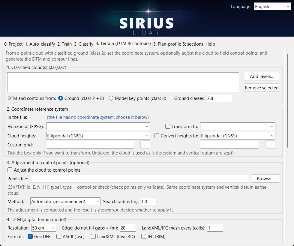
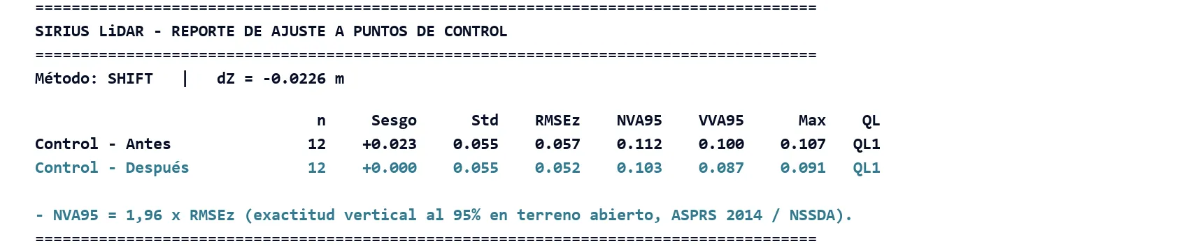
Pick the coordinate system and vertical datum, adjust to control points, and export the DTM to GeoTIFF, LandXML or IFC and contours to SHP, DXF or DWG.
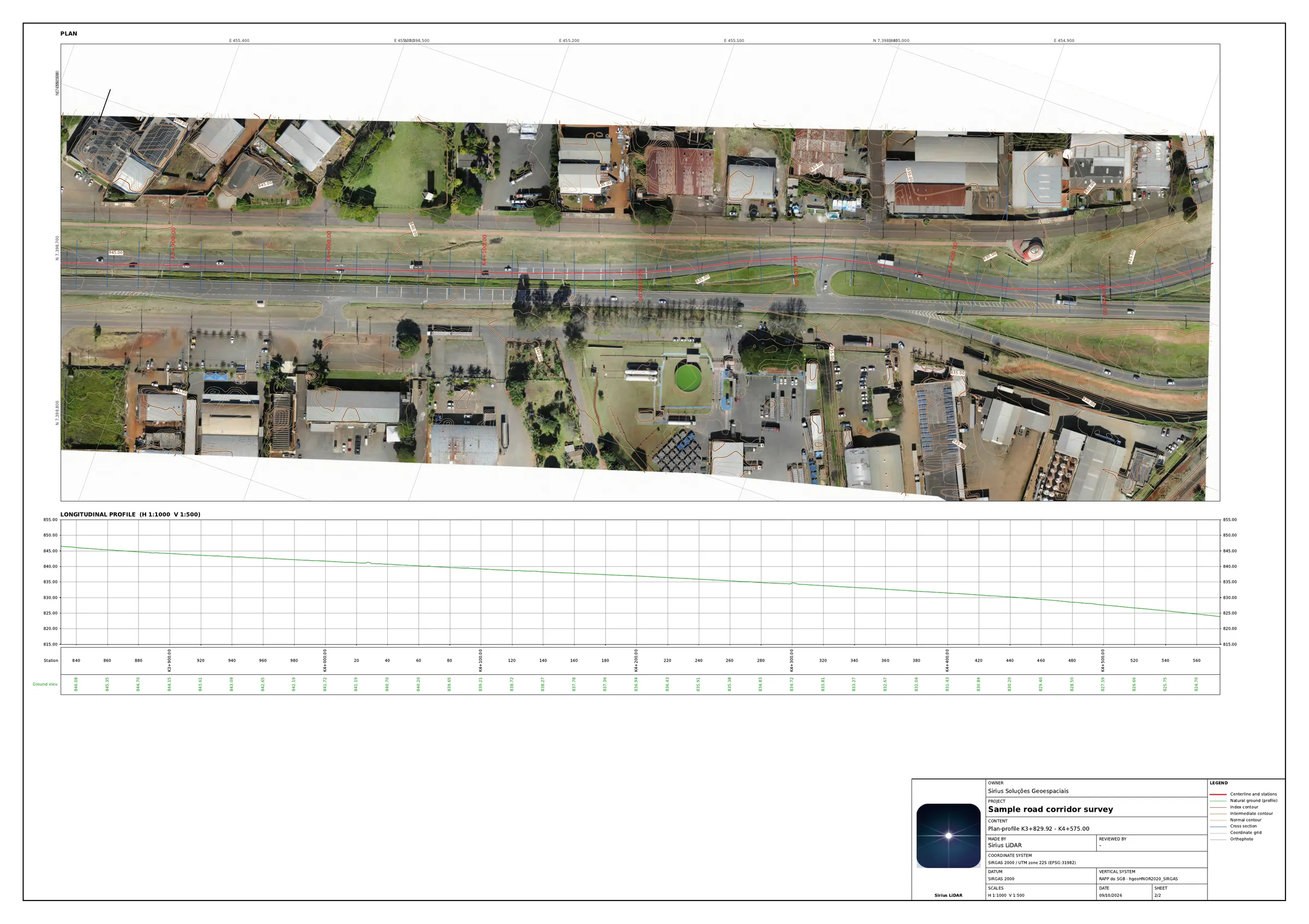
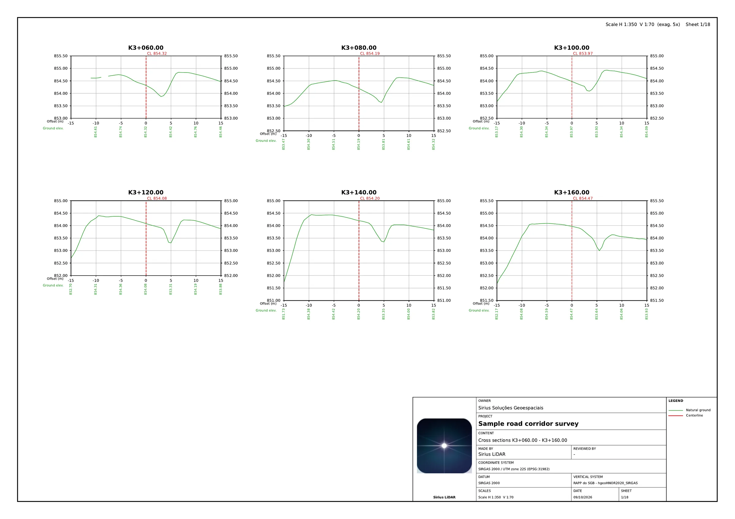
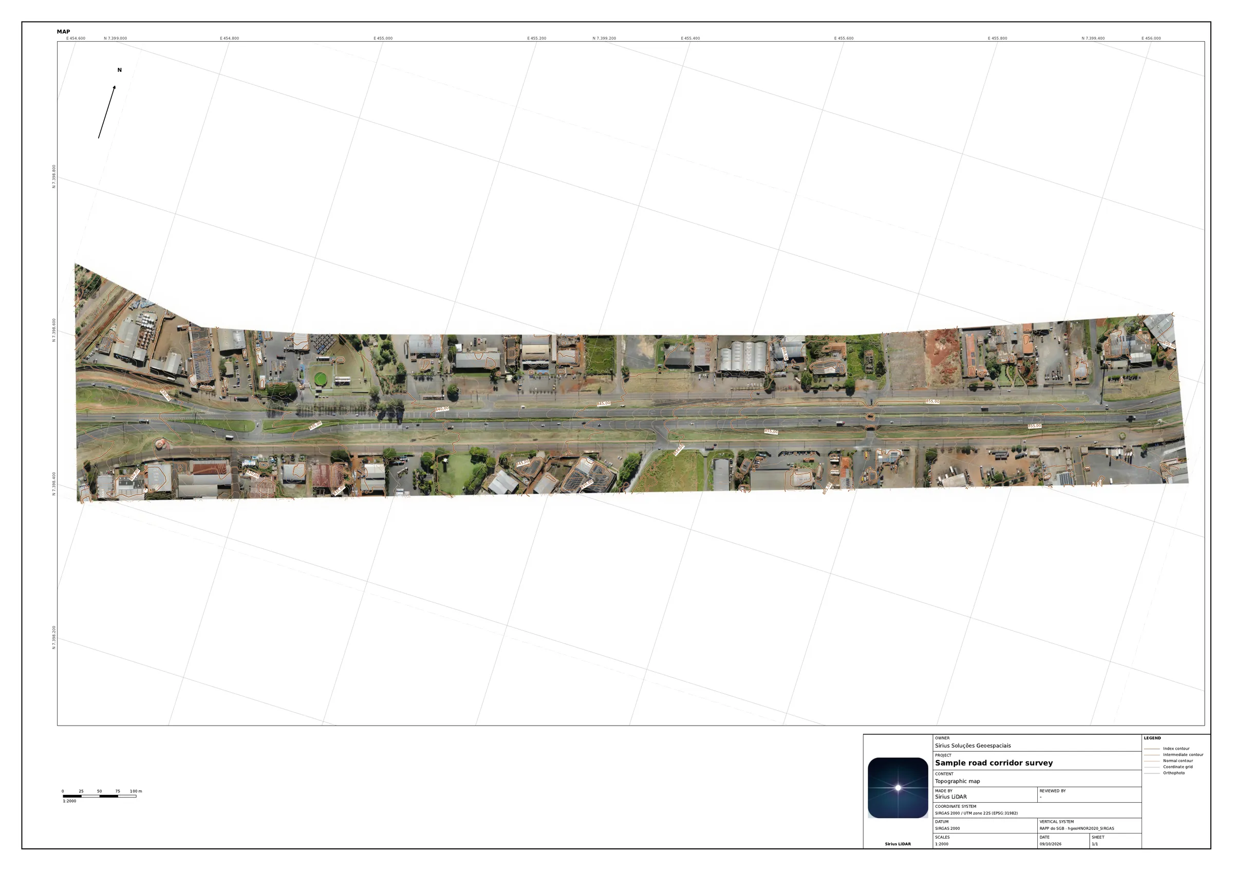
Scaled PDF and DXF sheets with coordinate grid and your own title block. With a centerline you get plan-profile and cross-sections; without one, map sheets oriented along the corridor.
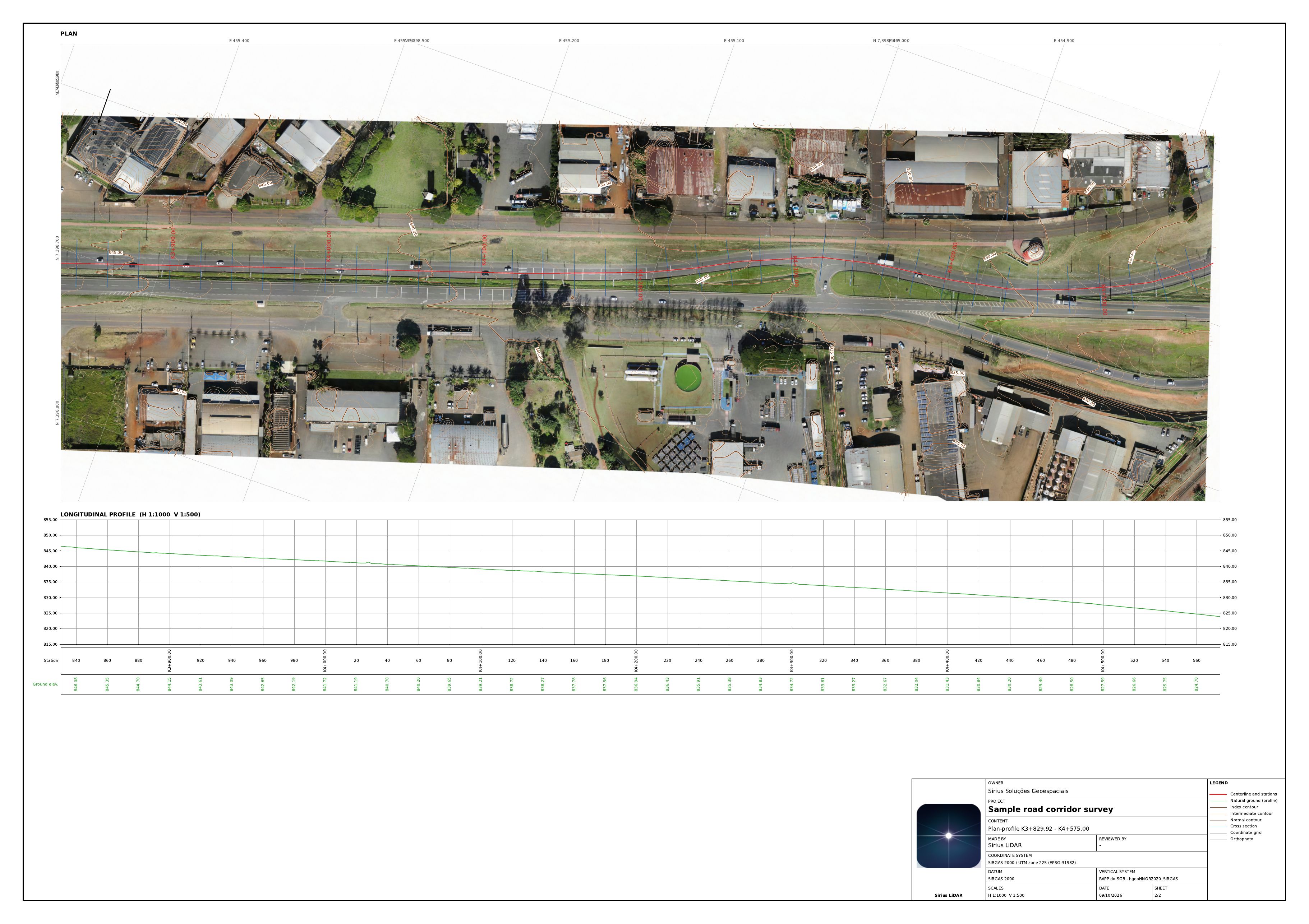
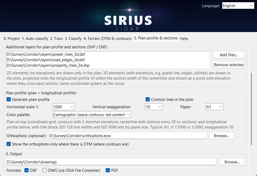
Add your SHP or DXF layers and the orthophoto. 2D layers are drawn in the plan; 3D layers, such as utilities or edges, also appear in the profile and in every cross-section they cross.
Results you control: they are produced on your own computer, with no cloud in between. The information is yours from the moment it is created.
Times vary with the computer and the size of the cloud.
The program is available in English, Português, Español, Français and हिन्दी.
One license per computer, which you can move to another PC when you need. Cancel anytime.
US$ 12 per week
For a single short project.
Opening soonUS$ 29 per month
For ongoing work.
Opening soonUS$ 249 per year
About 28% less than paying monthly.
Opening soonSales open shortly. Write to us and we will tell you the day the store opens.
Ask for early accessPrices in US dollars. Full refund if you cancel within 7 days of your first payment.
We adapt Sirius LiDAR to your standards and deliverables: title blocks and drawing styles, new object classes for your model, report formats, or processing of your surveys. Tell us what you deliver and to whom.
Write to contato@siriuslidar.com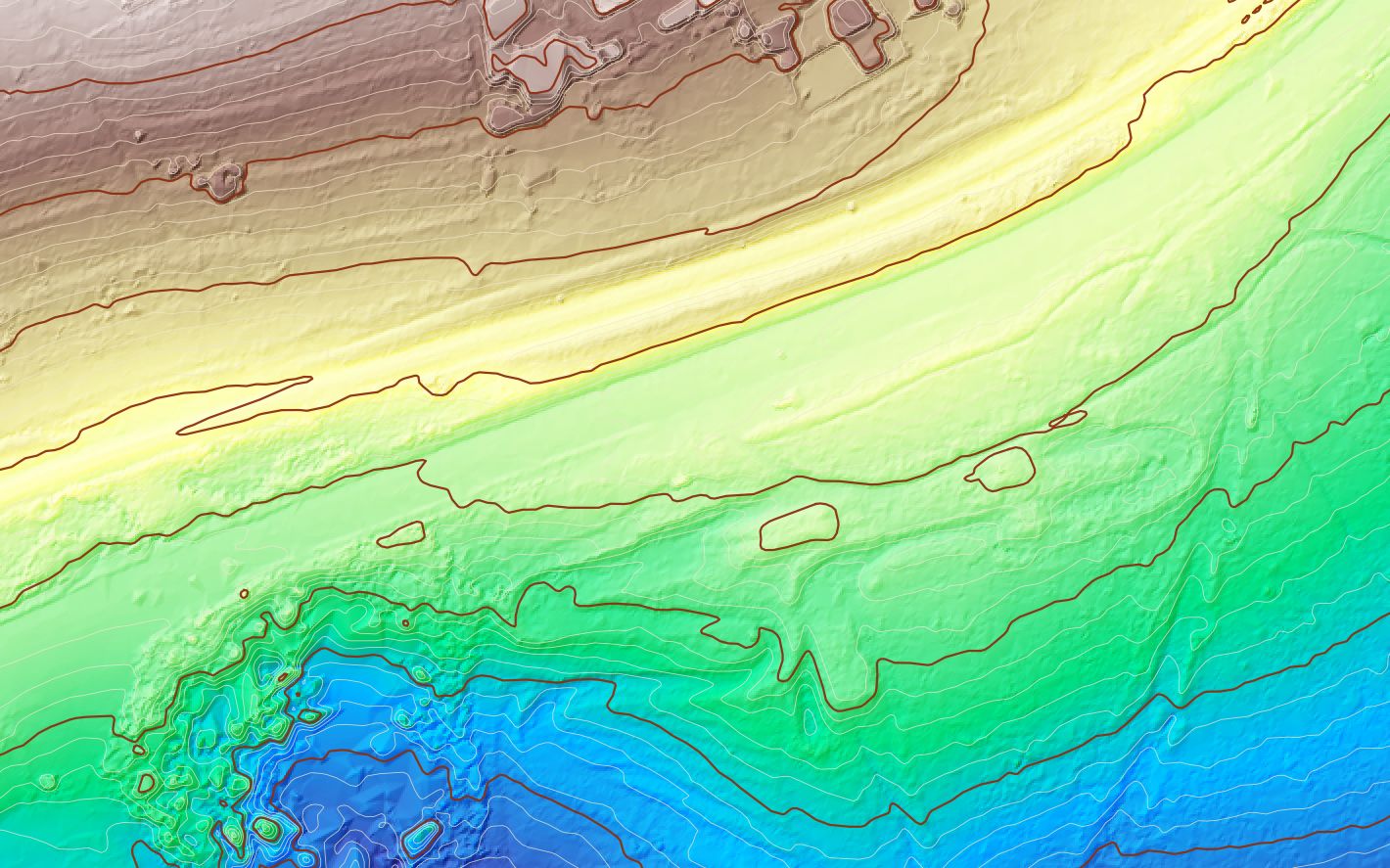
No. Sirius LiDAR is a program on your computer, and your projects stay there.
No. A Windows 10 or 11 PC with 16 GB of RAM is enough. No graphics card needed.
LAS and LAZ point clouds; DXF and SHP for centerlines and extra layers; GeoTIFF, ECW, JP2 and other common formats for the orthophoto.
Results depend on how many examples you label and how good they are. The program reports precision and recall for each class so you can judge before using the model.